Map Collections
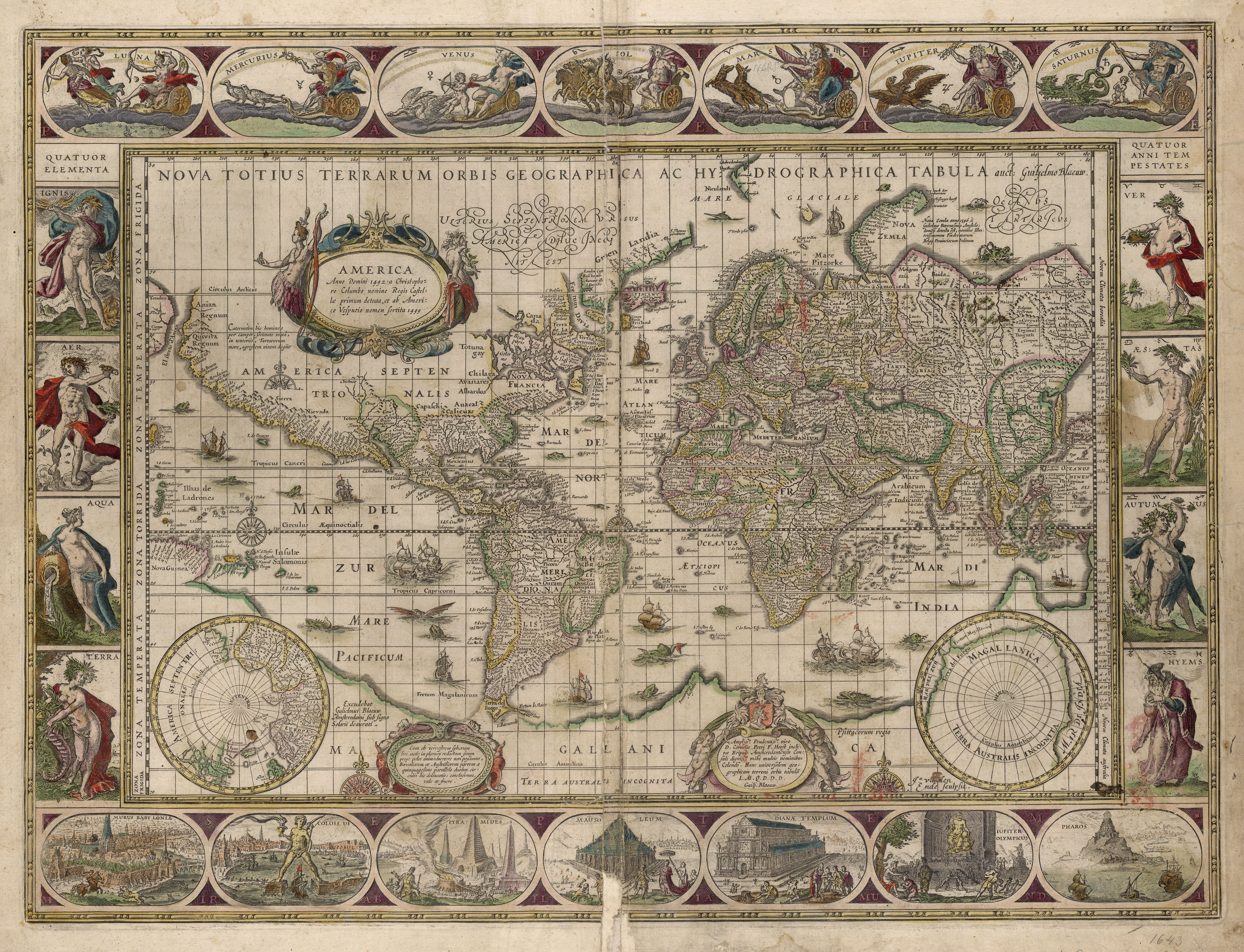
John H.W. Stuckenberg Map Collection
John H.W. Stuckenberg had a life long interest in maps, and while living in Germany purchased the majority of his collection, which consists of three 17th century atlases and over 500 map sheets from the 16th through the 19th century. A few of the cartographers represented in the collection are: Willem Janszoon Blaeu (1571-1638), Matthaus Seutter (1678-1756), and Tobias Conrad Lotter (1717-1777). The maps are housed in Special Collections at Musselman Library.
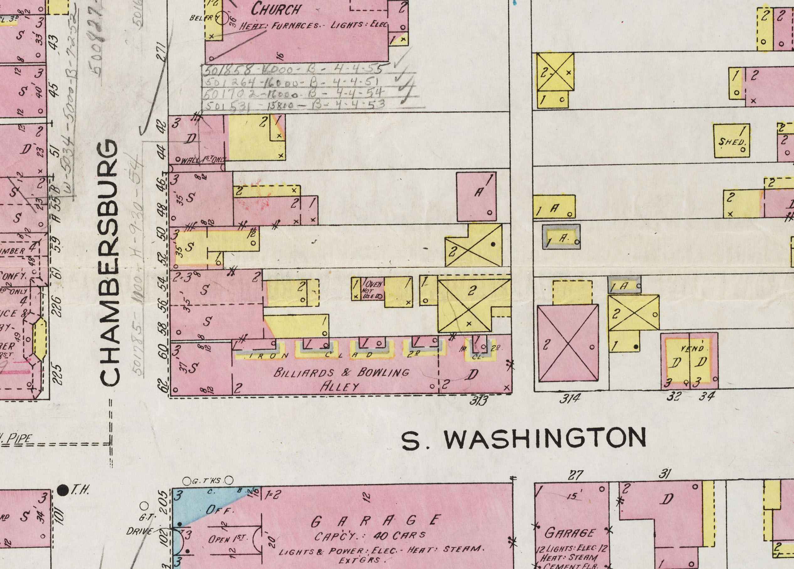
Sanborn Fire Insurance Maps of Gettysburg
This collection contains Gettysburg College's Special Collections holdings for the Sanborn Fire Insurance Map of Gettysburg in 1924. Sanborn fire insurance maps were produced to document the residential, commercial and industrial buildings within city blocks. The Sanborn Map Company produced maps for more than 12,000 cities and towns in North America. The map is divided into 17 numbered sheets. The collection is missing map sheet 14. Use of the Sanborn Map Collection is limited to campus only.
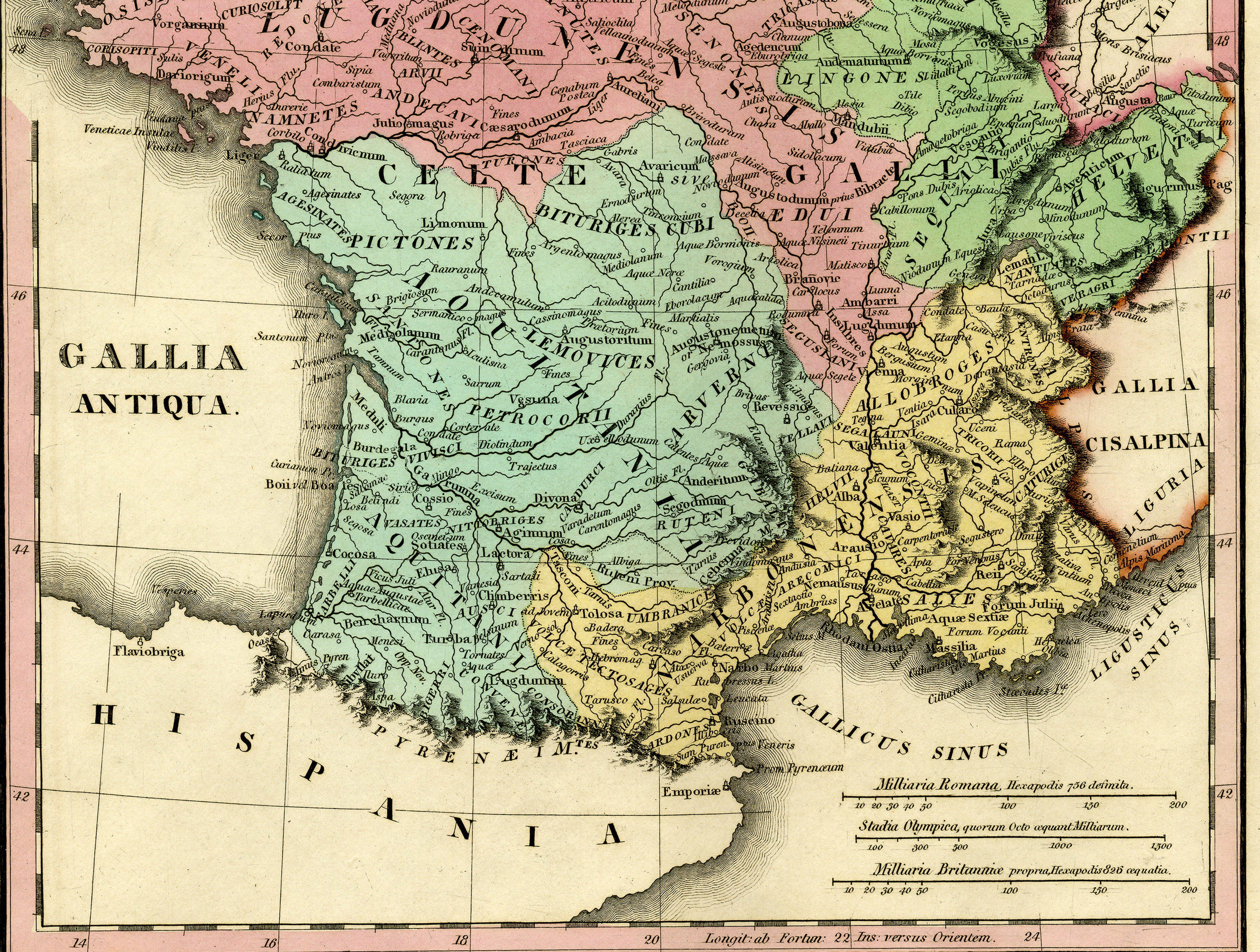
Atlas Classica
A collection of maps of the Classical World published in 1834.